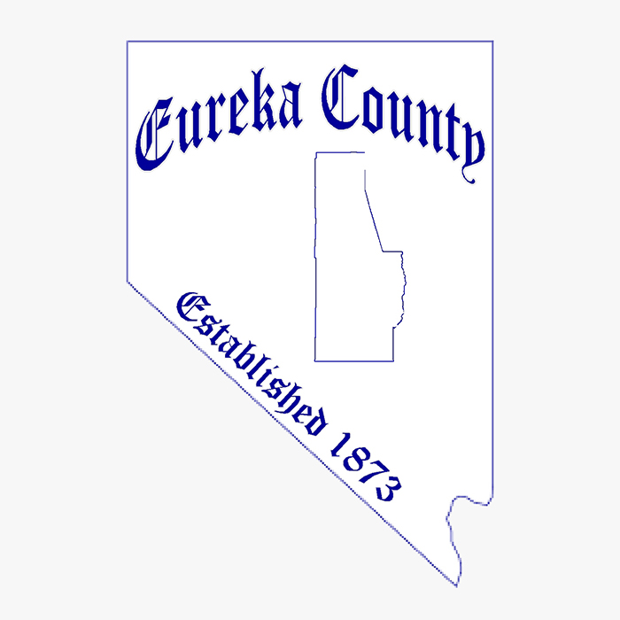
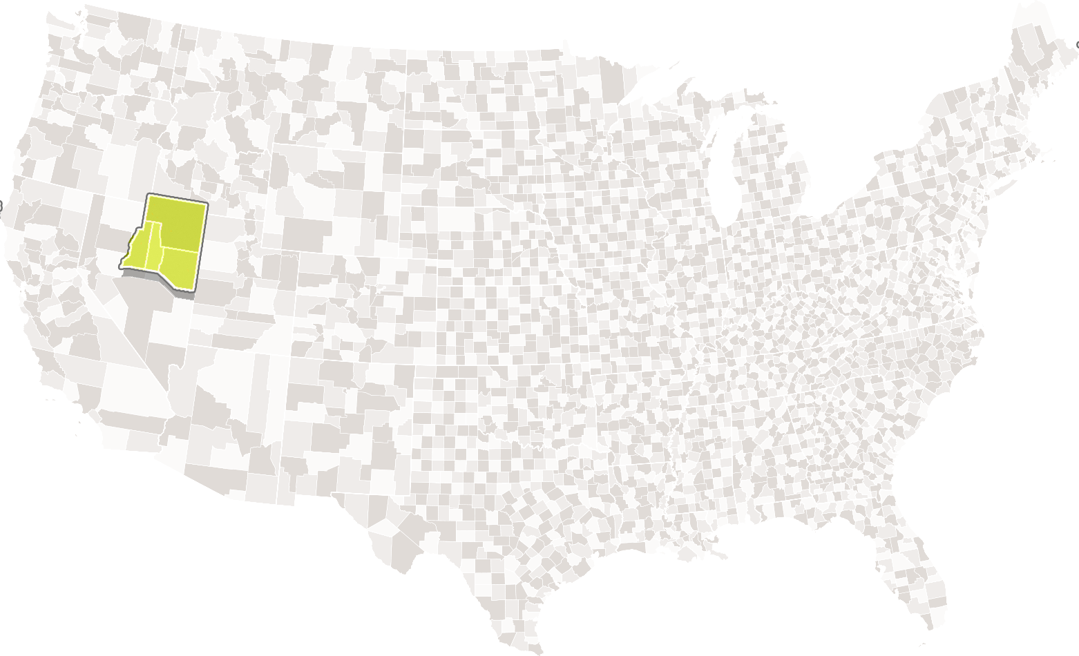
Eureka County

Eureka County Advantages
- No Building Permits Required
- Competitive energy rates provided by Mr. Wheeler Power
- Affordable water & sewer provided by County
- Fully Equipped Railport at Dunphy
- Centrally located between Las Vegas, Reno, and Salt Lake Metro Areas
- Transversed by Interstate 80, US 50, NV 306, NV 278, and the Union Pacific Railroad
- Municipal Airport with two runways, hangars and hangar rentals, fuel (100 LL and Jet A)
Eureka County Quick Facts
- Area: 4,180 sq/miles
- Founded in 1873
- 81% Public Land
A Little About Eureka County
If you like fresh high desert air, stunning mountain views and no traffic congestion, you’ll love Eureka County!
Located in central Nevada, Eureka County is comprised of three towns – Eureka, Beowawe and Crescent Valley. Primarily a ranching, agricultural and mining county, Eureka County welcomes these and new industries with no existing zoning ordinances, very low property tax rates and no business licensing.
With a network of interstate highways and railroad lines, transportation to and from Eureka County is fast and dependable. At 6,500 feet, Eureka has the highest elevation of the three towns; both Beowawe and Crescent Valley are at an elevation of 4,000 feet.
Your employees will benefit tremendously should they choose to live in Eureka County. Multiple services and resources are available including a fully staffed medical clinic with Doctors and Nurse Practitioners provided by W.B. Ririe. Eureka County schools offer a quality education and have been awarded a five star rating by Great Schools.org.
Mild temperatures, along with the surrounding mountains and the Humboldt River, make Eureka County an outdoor playground. The outdoor enthusiast will never lack for activity. Hunting, fishing, hiking, swimming and much more are all readily available
Community Links
Eureka County, NV Community Profile
Use the icon buttons below to toggle through interactive community data for Eureka County.

